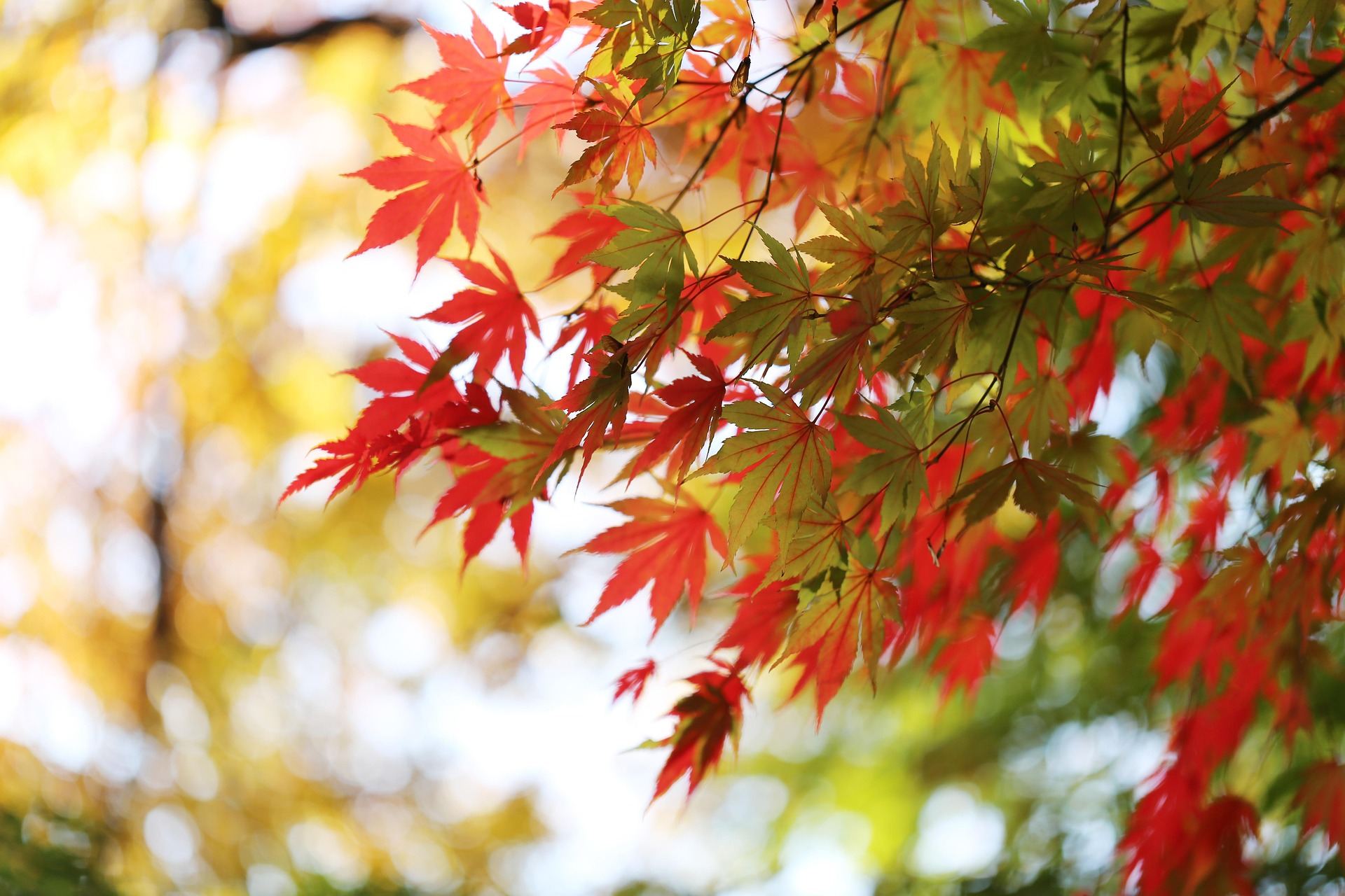
Maple leaves turned red in the autumn sun. Korean mountains take on these colours in October.
About 70% of South Korea is mountainous. The Taebaek range runs north to south along the east side, and the sea surrounds the country on three sides, so you can ride a high pass and a beach on the same day. Old temples sit in many of the valleys, and a hot meal is never far from the road.
One thing to know first: hiking trails in Korean national parks, including Seoraksan and Hallasan, are closed to bicycles. The mountain routes in this guide therefore follow paved pass roads over the mountains, and you leave the bike to walk to summits and ridges. Long pass climbs suit an e-MTB well.
This guide starts with the signature Seoraksan pass ride and then covers Jeju, where most of our routes are, and Yeongjong Island, home of Incheon Airport: five regions with the roads and sights of each.
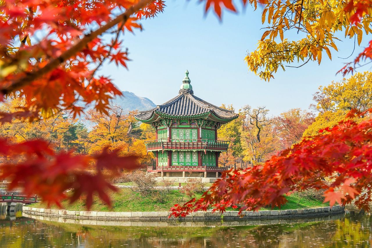
Sokcho, Inje and Yangyang, Gangwon · Hangyeryeong pass above 900 m
Seoraksan's Two Passes: Misiryeong and Hangyeryeong
- Distance
- About 120 km for the loop
- Time
- 2 days (1 night)
- Surface
- Paved pass roads plus coast road
- Level
- Advanced
Seoraksan is a range of granite peaks and ridges around its highest summit, Daecheongbong (about 1,708 m), and is a UNESCO Biosphere Reserve. The 'ridge line' in the route's name refers to ridges such as Gongnyong and Seobuk, but those are national park hiking trails and closed to bikes. Instead you ride the two paved roads that cross the range, Misiryeong and Hangyeryeong, and see the ridges from the side.
The loop starts in Sokcho, climbs over Misiryeong (about 800 m) and drops toward Inje, then climbs Hangyeryeong and descends to Yangyang before following the coast back to Sokcho. The Taebaek range is steep on the east side and gentle on the west, so Misiryeong from the sea is short and steep, while Hangyeryeong from Inje is long and steady. Together the two passes add up to roughly 1,500–2,000 m of climbing.
That is a lot for one day, so most riders stay a night in Inje or at Osaek in Yangyang. In the autumn colour season (around mid-October) the slopes on both sides of the road turn red, but traffic is heaviest then too, so cross the passes early in the morning.
Things to see
Old Misiryeong road and Ulsanbawi
A tunnel now takes most traffic, but the old winding pass road is still there to climb. On the way up, the huge granite mass of Ulsanbawi rock looms close by.
Hangyeryeong rest area
A rest stop at the top of the pass with a view down over layers of rocky peaks toward Yangyang. A trail to Daecheongbong starts here, but it is for walking only.
Jujeongol valley at Osaek
A walking path along a stream from Osaek village, at the bottom of the Hangyeryeong descent. Leave the bike and walk for an hour or two past rock cliffs and clear pools.
Sinheungsa and the Yongdae-ri drying racks
You can ride by road to the Seorak-dong park entrance near Sokcho, then walk to Sinheungsa temple and Biryong waterfall. In Yongdae-ri, Inje, rows of racks dry pollack in the winter wind.
Jeju Island · coastline at 0–100 m
Around the Jeju Coast: Windmills and Black Sand
- Distance
- About 234 km around (50–70 km per day)
- Time
- 3–4 days (or single-day sections)
- Surface
- Paved bike path plus coast road
- Level
- Beginner to intermediate
Jeju is a volcanic island built up around Hallasan. A bike route of about 234 km follows the coast all the way round, with stamp stations along the way that many riders collect. It is almost all paved with little climbing, so even first-time e-MTB riders can take it one day at a time.
The coastal rock is dark basalt from the volcano. White waves break on black rock, and low walls of stacked stones surround fields and houses. Wind turbines stand in a row in the sea off the west coast, and further south come Sanbangsan and sea cliffs.
On Jeju the wind decides the day. A headwind makes flat road feel like a climb and drains the battery fast. Check the wind direction and choose which way to ride round, or plan long stretches with the wind behind you.
Things to see
Samyang Black Sand Beach
A black sand beach just east of Jeju City. Good for the first or last day of a lap, and the sand glitters in the sun.
Aewol to Hyeopjae
West of Jeju City the coast road runs right beside the sea. Hyeopjae Beach has clear emerald water, with the small island of Biyangdo just offshore.
Sinchang windmill coast
At the island's western tip, wind turbines stand in the shallow sea. Many people come at dusk to watch the sun set behind them.
Suwolbong and Yongmeori coast
Sea cliffs made of layered volcanic ash, part of the Jeju Global Geopark. Yongmeori can be closed to walkers on some days depending on the tide.
Jeju Island · 1100 Highland at about 1,100 m
Forest Roads on Hallasan: the 1100 Road and 5·16 Road
- Distance
- About 50–80 km per day
- Time
- Day trip
- Surface
- Paved mountain road
- Level
- Advanced
Hallasan (about 1,947 m) is the highest mountain in South Korea and rises in the middle of the island. Its summit trails are closed to bikes, but two roads cross its slopes between Jeju City and Seogwipo: the 1100 Road in the west and the 5·16 Road in the east.
As the name says, the 1100 Road climbs to about 1,100 m, and from Jeju City to the top the climb barely lets up. Tangerine orchards and pastures give way to cedar and broadleaf forest, and near the top you see the peaks of Hallasan above low shrubs and dwarf bamboo. The 5·16 Road is known for its tunnel of trees and passes Seongpanak (about 750 m), a trailhead for Hallasan.
With enough energy and battery, you can cross on the 1100 Road, have lunch in Seogwipo and return on the 5·16 Road. On a first visit, riding from Jeju City up to the 1100 Highland and back down the same way works well too.
Things to see
1100 Highland Wetland
A mountain wetland beside the rest stop at the top of the road, listed as a Ramsar wetland. A short boardwalk lets you walk through it.
Yeongsil and Eorimok trailheads
Hallasan trailheads that branch off the 1100 Road. Leave the bike at the entrance and, if you have time, walk a little way up into the forest.
5·16 Road tree tunnel
Trees on both sides meet overhead and the light falls through in patches. The road is narrow and winding, so take it slowly.
Saryeoni Forest Path
A walking path through tall, straight cedars. It is for walking only, so leave the bike at the entrance.
Seongsan and Gujwa, eastern Jeju · Seongsan Ilchulbong at about 180 m
East Jeju: Seongsan Ilchulbong and Udo
- Distance
- 40–60 km per day (plus about 17 km around Udo)
- Time
- 1–2 days
- Surface
- Coast road plus village lanes
- Level
- Beginner to intermediate
The east of the island combines Seongsan Ilchulbong, rising straight out of the sea, with oreum: small volcanic cones scattered across the fields. Seongsan Ilchulbong is part of the UNESCO World Natural Heritage site 'Jeju Volcanic Island and Lava Tubes', together with Hallasan and the Geomunoreum lava tube system.
The coast road north from Seongsan through Jongdal-ri, Sehwa and Woljeong-ri to Gimnyeong has clear water and little climbing, so it is easy riding. In the seaside villages you may see haenyeo, women divers, coming back from the sea. Jeju's haenyeo culture is on UNESCO's list of Intangible Cultural Heritage.
A ferry from Seongsan port takes you to Udo. The island is about 17 km around, so even at a slow pace you can ride a full lap in half a day and see both white and black sand beaches.
Things to see
Seongsan Ilchulbong
A crater peak formed by an eruption under the sea. Leave the bike at the bottom and walk up the stairs to look down into the wide crater and over the eastern sea.
Seopjikoji
A headland south of Seongsan Ilchulbong. Walk along the grassy clifftop for a side view of the crater peak.
Udo's beaches
Seobin Baeksa on the west side has dazzling white sand, while Geommeolle Beach on the east side is covered in black sand. Udo is known for peanuts, and you will find them in many snacks.
Oreum and Bijarim forest
Oreum such as Darangswi can be climbed on foot in about 30 minutes, with a view over the other cones in the eastern fields. Bijarim, a forest of old nutmeg yew trees, is also explored on foot.
Jung-gu, Incheon · the island of Incheon International Airport
Yeongjong Coast: a Lap of the Airport Island
- Distance
- About 50–60 km around the island
- Time
- Half day to full day
- Surface
- Coastal bike path plus paved road
- Level
- Beginner
Yeongjong is the island where Incheon International Airport stands. It is a good ride for the day you arrive or the day before you fly out, to get used to the bike without going far. Most of the way round is flat, so you can enjoy the sea breeze without worrying about climbs.
The Yellow Sea has a large tidal range, and wide mudflats appear at low tide. Eurwangni, Wangsan and Masian beaches on the west side face the sunset, so arrive late in the afternoon to watch the sun go down over the sea.
Parks and bike paths line the east coast, with views across the water to the Incheon Bridge and the towers of Songdo. On the roads near the airport, planes fly in low right over your head.
Things to see
Eurwangni Beach
The island's best-known beach. Restaurants serving grilled shellfish and kalguksu noodle soup line the shore, handy for dinner after a ride.
Masian Beach
A quiet beach where the mudflats stretch far out at low tide. At sunset the sky and the wet flats both turn red.
Incheon Airport Sky Garden
A park built close to the runway, where landing planes pass right overhead.
Seaside Park
A long park along the island's east shore with good bike paths and a view across to the Incheon Bridge.
Good to know before you go
When to go
April to June and September to October. Spring brings flowers; autumn brings clear skies and autumn colours, which usually peak on Seoraksan around mid-October. The rainy season runs from late June through July, and typhoons can arrive in August and September.
Weather
Korea has four distinct seasons, with hot, humid summers and cold winters. The mountain passes in Gangwon are often closed by snow and ice in winter. Jeju is milder in winter but windy all year round.
Roads and bikes
Bike paths follow rivers and coasts across the country. Pedal-assist e-bikes whose motor cuts out above 25 km/h may use bike paths. Expressways, motor-vehicle-only roads and national park hiking trails are closed to bikes. Helmets are required by law.
Food
On Jeju, try grilled black pork, gogi-guksu (noodles topped with pork), braised hairtail and tangerines. Sokcho is known for mulhoe (cold raw fish soup) and squid sundae, and Inje for dried pollack dishes. Convenience stores are everywhere for water and snacks.
Money and signal
The currency is the won (KRW). Cards are accepted almost everywhere, even in small shops, and buses and subways use a transport card. Mobile signal and internet are good nearly everywhere, though weaker in deep mountain valleys.
Entry and safety
Entry rules vary by nationality and change over time, so check with the embassy before you go. Traffic tends to be fast: keep to the right edge of the road and avoid tunnels where you can. Emergency numbers are 119 (ambulance and fire) and 112 (police).
Korea is small enough to ride the mountains and the sea on the same day, and wherever you stop, a warm meal is close by. Rest by the sea after a day on the passes, and where the path is for walking, leave the bike and take your time. Travelling this way, even a short trip shows you many sides of the country.
Need a bike for these roads?
Pick your dates and we'll show the e-MTBs you can rent.